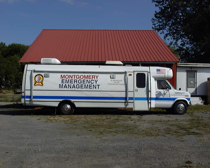
The Montgomery Emergency Management is there for the public safety and helps in the time of need such as flooding or other disasters. With Montgomery Borough having such a large area in the flood zones, the Montgomery EMA is very active and vigilant, especially during a flooding event.
The Emergency Management Agency Building is located at 40 Thomas Avenue, Montgomery. Montgomery Emergency Management Agency uses radio frequency 155.220 for local operations. This includes announcements of severe weather, status of severe weather in progress and damage statements. In times of heavy rain with flash flood potential, gauge readings from the two staff gauges on Black Hole Creek will be announced.
In times of potential high water from the Susquehanna River, readings from the Borough gauges will be announced on the hour. Most readings will start at our cautionary stage of 16 feet and will continue through crest. (Gauge readings are taken by volunteers as time permits)
Refer any concerns to Montgomery Emergency Management, Greg Gruver, Coordinator – 570-419-4866 or email at montema631@gmail.com
Officers
Greg Gruver
Municipal EMA Coordinator
Phone: 570-419-4866
Email: montema631@gmail.com
Faye Herb
Administrative Assistant
Email: faeherb@aol.com
Dennis Gruver
Deputy EMA Coordinator
Phone: 570-419-2873
Email: ema61@windstream.net
River Level Information
The following is a list of “CRITICAL RIVER LEVELS” that residents can be aware of in the event of a high water event. These river levels are taken from the Muncy River Bridge and relate to areas of concern for Montgomery Borough:
RIVER LEVEL IN FEET EVENT
11.0 Begin staff gauge at Montgomery Little League Bridge
2 – Rescue15.0 Water at top of river bank
15.0 Advise Little League of possible water damage
15.0 Advise Riverside Campground of water level
16.0 Cautionary Stage
16.0 Water Levels posted on Borough Website
17.0 Water in Little League building – Little League Bridge closed
18.0 Water at 1st Campsite at Riverside Campground
20.0 FLOOD STAGE
20.0 Advise Residents of Broad and Second Street of water level
20.0 Open Emergency Operation Center at Borough Office
20.0 Water covers road at old RR Underpass on S. Main Street
22.0 Water on Gage next to post office. 2’ on roadway at underpass
22.0 EMA Mobile Command Truck responds to Muncy River Bridge
22.6 MUNCY RIVER BRIDGE CLOSED – Begin Muncy readings
22.9 Water in Montgomery Park Pavilion – Water across Ellis Parkway
24.5 Water in basement of Fireman’s Social Hall – 19 W Houston Ave
24.84 Water over road at Montgomery Bridge – Route 405
25.0 Water at base of Carnival Ground concession stand
25.0 Advise Sewer Plant of water level
25.0 Water around Riverside Lounge and upper campground
25.09 Water across road at Broad and 2nd Street
25.72 MONTGOMERY RIVER BRIDGE CLOSED
26.92 Water across road at bridge on W. Houston Avenue
27.0 Water inside Riverside Lounge
30.0 Prepare to shelter Bower Street Development residents
30.39 Water across road at Montgomery Street and Thomas Avenue
31.0 Water around buildings at Borough Garage and Post Office
31.44 10 Broad Street – water on first floor
33.0 Water on first floor of Bower Street development
Keep in mind that the river readings change constantly. If you are in one of the areas subject to flooding, keep informed of the river readings. In 1972 during Hurricane Agnes, the river rose to an astounding crest of 37.45 feet. That was 17.45 feet above flood stage in Montgomery Borough.
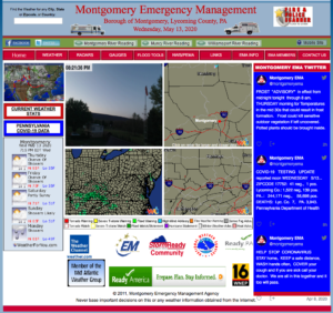
In the event of a potential flood situation, please refer to the Montgomery EMA Home Page home page Montgomery Emergency Management Agency<—- click here for website– and click on the link for hourly river readings in Montgomery.
Montgomery Emergency Management Agency
Click to Visit Website